
.png?width=1000&height=400&name=LibMaps%20(1).png)
LibMaps
Create accessible wayfinding for your spaces and materials.
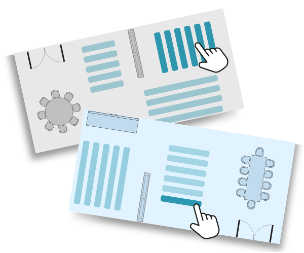
Stack Wayfinding
Discoverable Stack Wayfinding
integrates with your library catalog, ILS, and discovery platform. Offer patrons a “Browse the Collection” view for viewing holdings by subject/interest. The "Map It" button tells patron where to go to find their material!
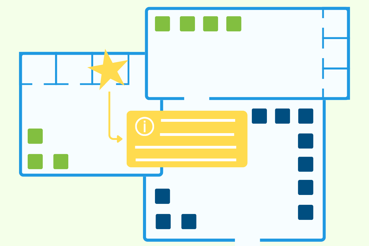
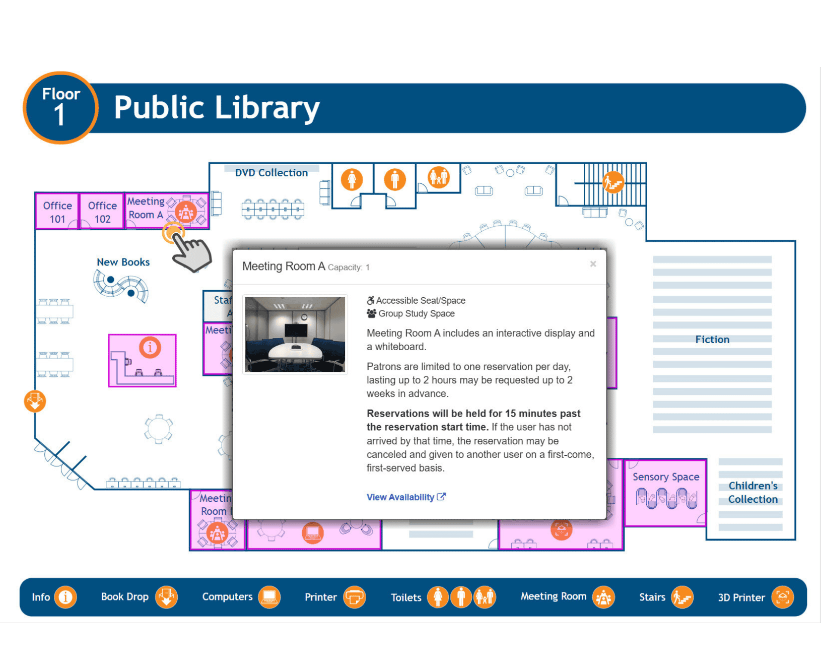
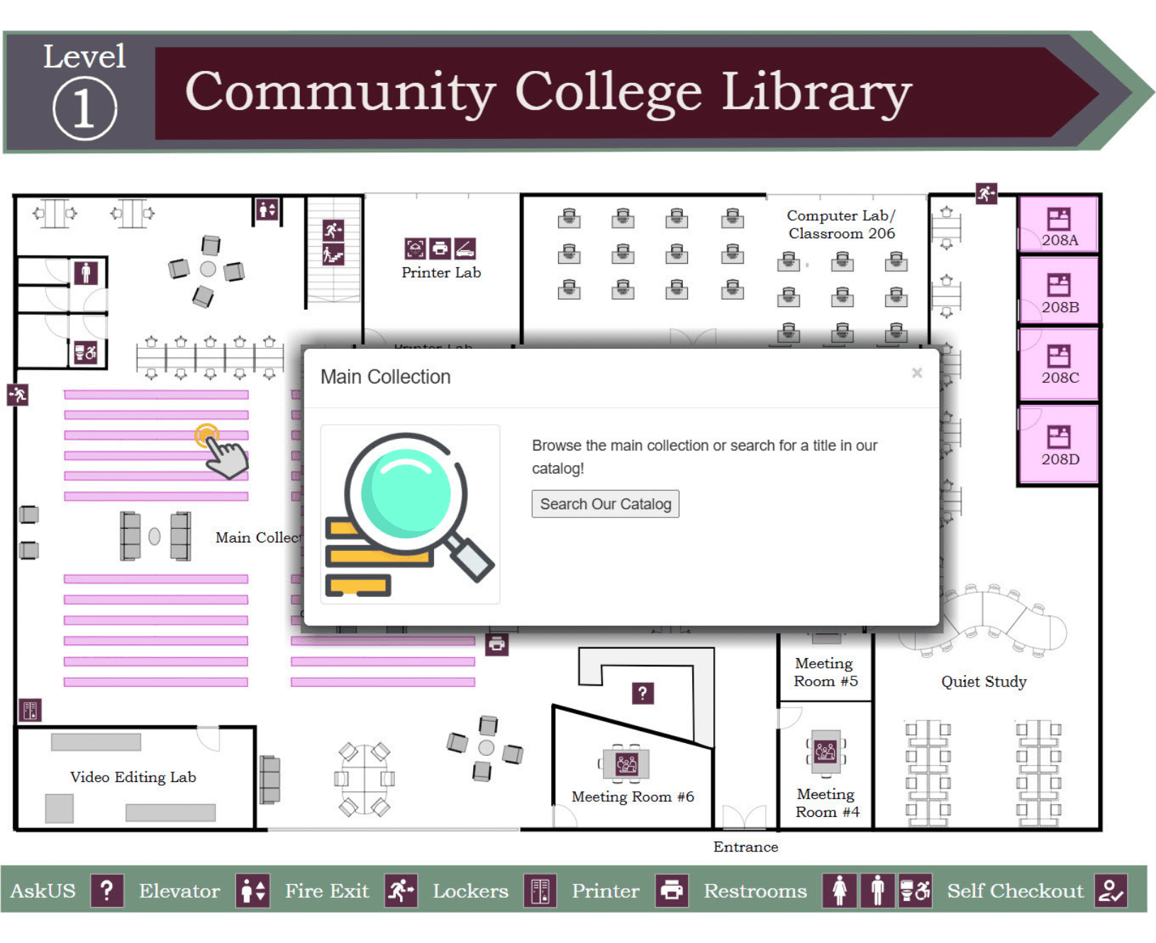
Interactive Hotspots
Create interactive hotspots on your maps to highlight relevant information. Hotspots can include information including service point hours, wayfinding assistance, department locations, staff offices, and more. The possibilities are endless!
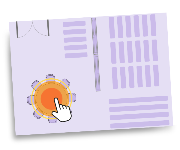
Connect to Call Numbers
Do you have special collections you want to highlight? Create categories with call number ranges so patrons can view where your special collections are located. Simply enter a call number to create a collection!
Customization
Create and easily edit interactive hotspots on your maps - add or revise information, images, or videos. Build nested maps so users can drill down from a floor all the way to an individual room. Make instant system-wide updates through seamless integration with LibCal, LibGuides, LibConnect & your ILS.
Consultation Available
If you need assistance with creating interactive maps, our Consulting Team can make them for you. We have created hundreds of visually appealing interactive maps - we can do the same for your library, too.